Efficient Survey Inspection With Computer Vision
- Rahul Sudeep
- September 4, 2023
Survey inspection plays an essential part in various industries, ensuring the quality and accuracy of data gathered. However, traditional forms can be time-consuming and susceptible to human errors. That is where computer vision comes in – with its ability to interpret visual data quickly, it has revolutionized survey inspection and made the process faster and more accurate than ever.
Survey inspection is essential in industries like construction, infrastructure development and environmental monitoring to ensure compliance with regulations, identify potential risks and maintain the integrity of projects.
This technology refers to the application of artificial intelligence and image-processing techniques to analyze visual data. By utilizing computer vision algorithms for survey inspection one can increase efficiency, accuracy and cost-effectiveness while decreasing inspection time significantly.
We will explore how computer vision has transformed survey inspection processes as well as its many benefits across industries in this article.
Road Quality Management:
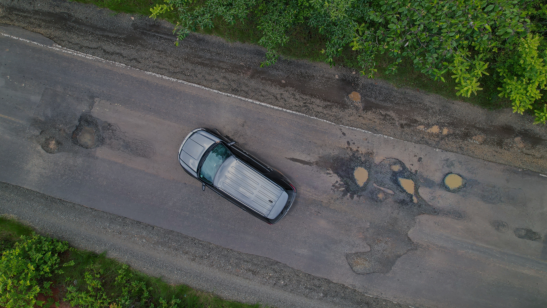
Maintaining high quality roads is of utmost importance for commuters’ safety and convenience, as subpar roads lead to accidents and traffic congestion . For a long time, road quality assessments have been performed manually – an unwieldy task prone to errors. Now, however, computer vision could streamline this process drastically.

Computer vision involves employing artificial intelligence and image processing techniques to analyze visual data. Applying computer vision algorithms accurately assesses road conditions more quickly. Cameras mounted on vehicles or drones capture images or videos of roadways, which are then processed and analyzed using computer vision algorithms in order to detect various parameters such as cracks, potholes, pavement markings and road signs..
Utilizing computer vision technology for managing road quality management provides numerous advantages:
- Data collection and analysis tools enable faster collection of information, helping authorities quickly recognize areas requiring immediate attention. It prioritizes repairs more effectively and allocates resources efficiently. It ultimately decreases accident risks while improving road conditions overall.
- Computer vision-based inspections provide objective and consistent assessments that eliminate human biases and errors.
- This technology also facilitates the establishment of an extensive road quality database for long-term planning, budgeting and performance evaluation purposes.
Progress Monitoring of Construction:
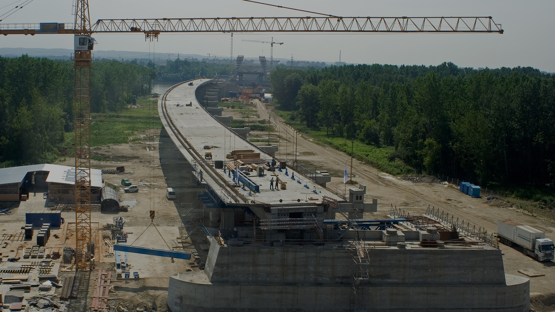
Monitoring construction progress is integral for timely project completion and cost control. It is often performed manually via site visits. The measurements are taken manually or with subjective assessments. Unfortunately, such methods tend to be time-consuming and inaccurate.

Computer Vision-based progress monitoring techniques employ cameras or drones to regularly capture photos or videos of construction sites. The computer vision algorithms identify completed tasks, materials used and worker activities at each interval. Ultimately, this data allows progress monitoring companies to keep an eye on construction progress without physically visiting every construction site.
Computer vision offers the following benefits in construction progress monitoring:
- Project status monitoring provides real-time and objective data on their project’s current state, helping project managers quickly recognize delays and bottlenecks .
- Computer vision-based monitoring reduces manual measurements and inspections, while allowing personnels to allocate their resources to more critical tasks thus increasing overall productivity.
- This technology also facilitates remote monitoring, providing project stakeholders access to project updates from any location at any time – helping foster collaboration, transparency and communication within project teams.
Capturing Drone Images:
Drones have become an indispensable asset when conducting survey inspections due to their ability to capture high-resolution photos and videos from multiple angles. This allows surveyors to access valuable inspection information quickly and efficiently.It includes recognizing objects or anomalies while measuring distance or dimensions.
Drone technology combined with computer vision helps with –
- Automated inspection eliminates extended labor time and manual reworks.
- The use of drones also provides a safer means of inspecting difficult-to-reach areas or hazardous spots.
Forest Area Scan:
Forests play an essential part of our ecosystem, offering multiple advantages like carbon sequestration, biodiversity preservation and natural resource management. Therefore, monitoring and managing forest areas effectively to ensure their continued sustainability and health is of vital importance – traditional methods are often cumbersome; computer vision provides a quicker solution!

Computer vision techniques can be employed to survey and inspect forest areas using aerial snapshots, which can then be processed through computer vision algorithms to detect different kinds of vegetation, track forest health status, and detect any signs of degradation or deforestation.
Computer vision can impact forest area scans in the following ways:
- Forest monitoring through computer vision technology enables large-scale analysis and monitoring across vast territories that would otherwise be difficult or impractical for manual inspections.
- Computer vision technology can detect subtle variations in vegetation patterns or identify invasive species, providing early warning One potential threat that arises with environmental degradation is harmful species invasions. Computer vision technology can assist authorities in early detection of these invasions so that prompt action may be taken against their further spread. Such technology could detect the presence of invasive plants in forests to provide timely intervention against their impact on native ecosystems.
- Utilizing computer vision techniques, forest management can interpret and analyze visual data. This is how it can become more proactive, leading to enhanced conservation and sustainable practices.
Accident Alerts for Highways:
Highway accidents are a substantial threat to public safety, and timely detection and alerts are essential for effective emergency responses. Computer vision has proven an indispensable asset when it comes to accident alerts on highways.

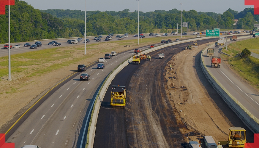
Computer vision-based accident detection systems use cameras installed along highways to capture video footage that is then processed with computer vision algorithms to identify potential accidents like collisions, vehicle breakdowns or pedestrian safety threats. Once an incident is recognized, alarms can be immediately sent out, alerting relevant authorities or emergency services for immediate intervention.
Computer vision as an accident alert system on highways offers various advantages.
- Monitoring traffic conditions can help prevent crashes and save lives.
- Computer vision algorithms can also assist authorities by assessing traffic patterns and detecting potentially accident-prone areas, enabling authorities to take preventive steps and enhance overall highway safety.
- Utilizing computer vision technology can make highway accident alerts more efficient, leading to quicker response times and improved traffic management.
Final Thoughts
Computer Vision’s advanced algorithms and machine learning techniques make the inspection process seamless and accurate. Automated operations lead to increased efficiency without consuming much of your time. This technology enables rapid detection and analysis of various survey elements such as structures, defects and anomalies with speed and precision thus, improving overall inspection quality.
As far as future prospects are concerned, combining computer vision technology with survey inspection is certainly promising. Continued advances in computer vision technology combined with the integration of other emerging technologies like artificial intelligence and robotics will further advance survey inspection capabilities, making them more reliable, cost-efficient, and time-efficient.

